
Collection 01
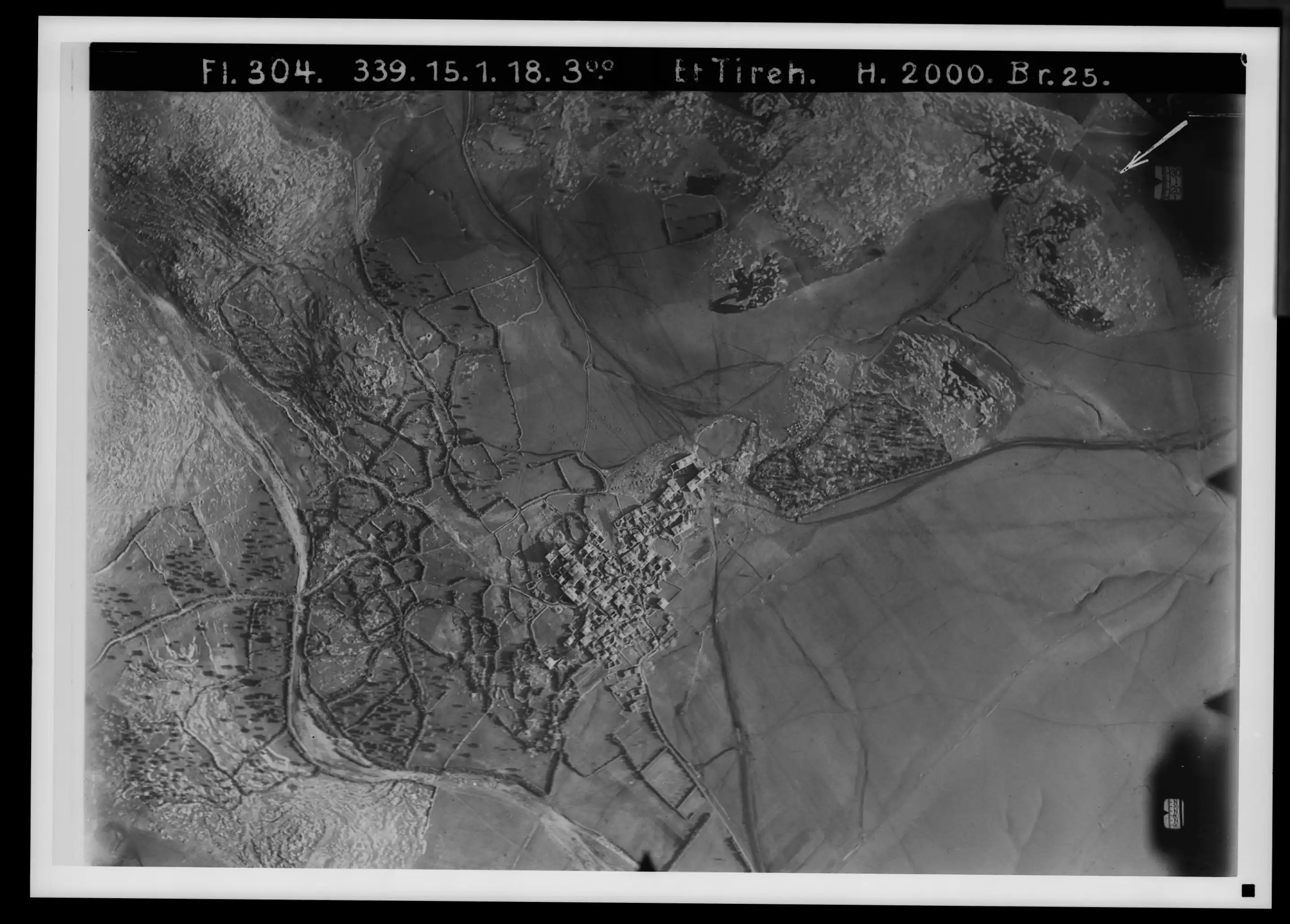
German Air Force
1917–1918
Reconnaissance photographs taken by German pilots flying over Palestine during the First World War. Some of the earliest aerial records of the landscape.
Scattered records of a stolen landscape, gathered into one place — located, georeferenced, and stitched back onto the land they belong to. The work of reclaiming it, in steps anyone can take.
Most of what is known about pre-1948 Palestine in pictures is held in distant archives. This project draws those scattered records into one place — and gives anyone the tools to read them against the landscape today.
Reconnaissance photographs taken by German pilots flying over Palestine during the First World War. Some of the earliest aerial records of the landscape.
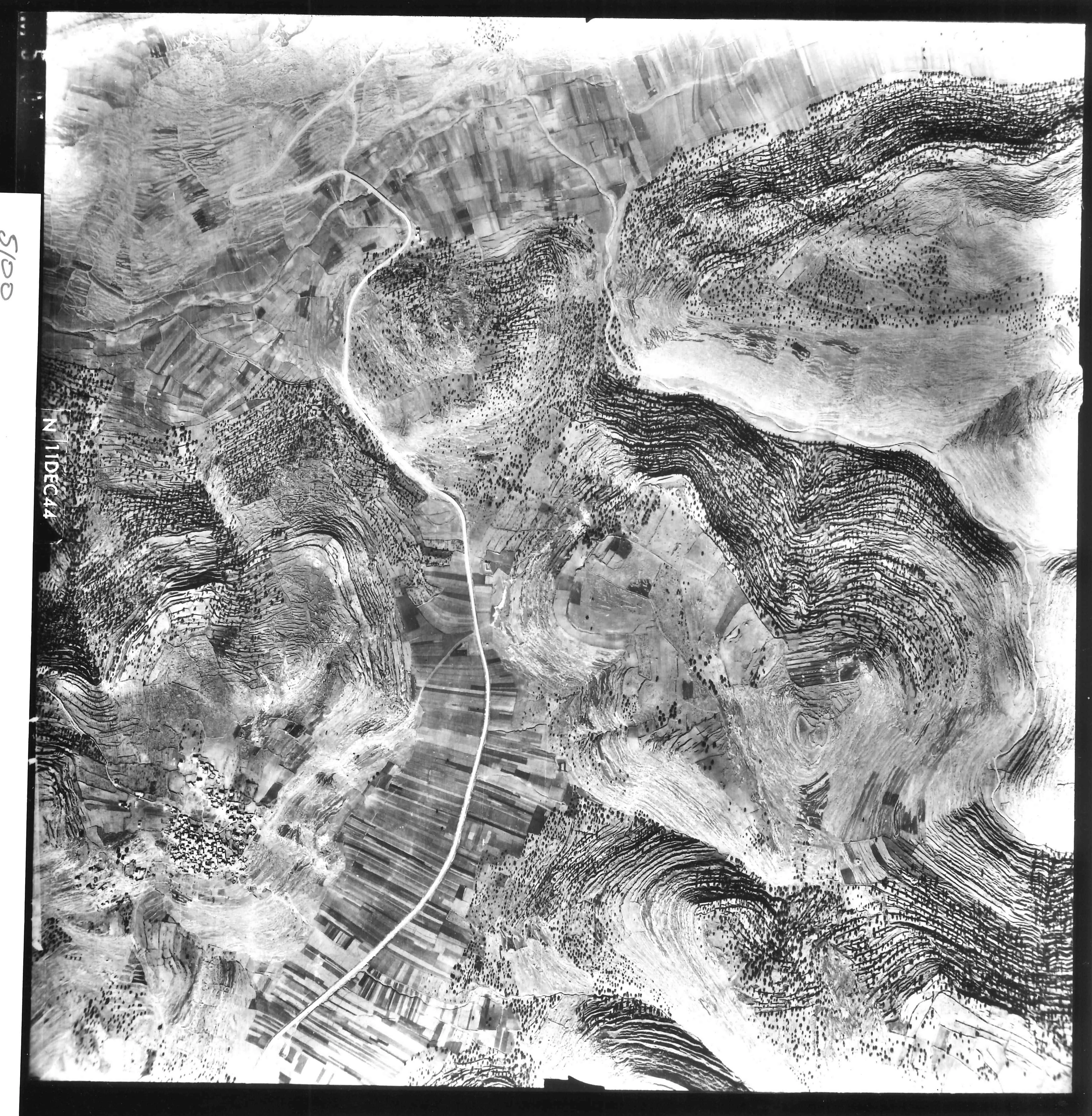
Aerial photographs from the British survey of Palestine carried out on the eve of partition. The archive currently holds the portions known as PS2 and PS3 — not the complete survey, but enough to give a continuous picture of much of the country in the mid-1940s.
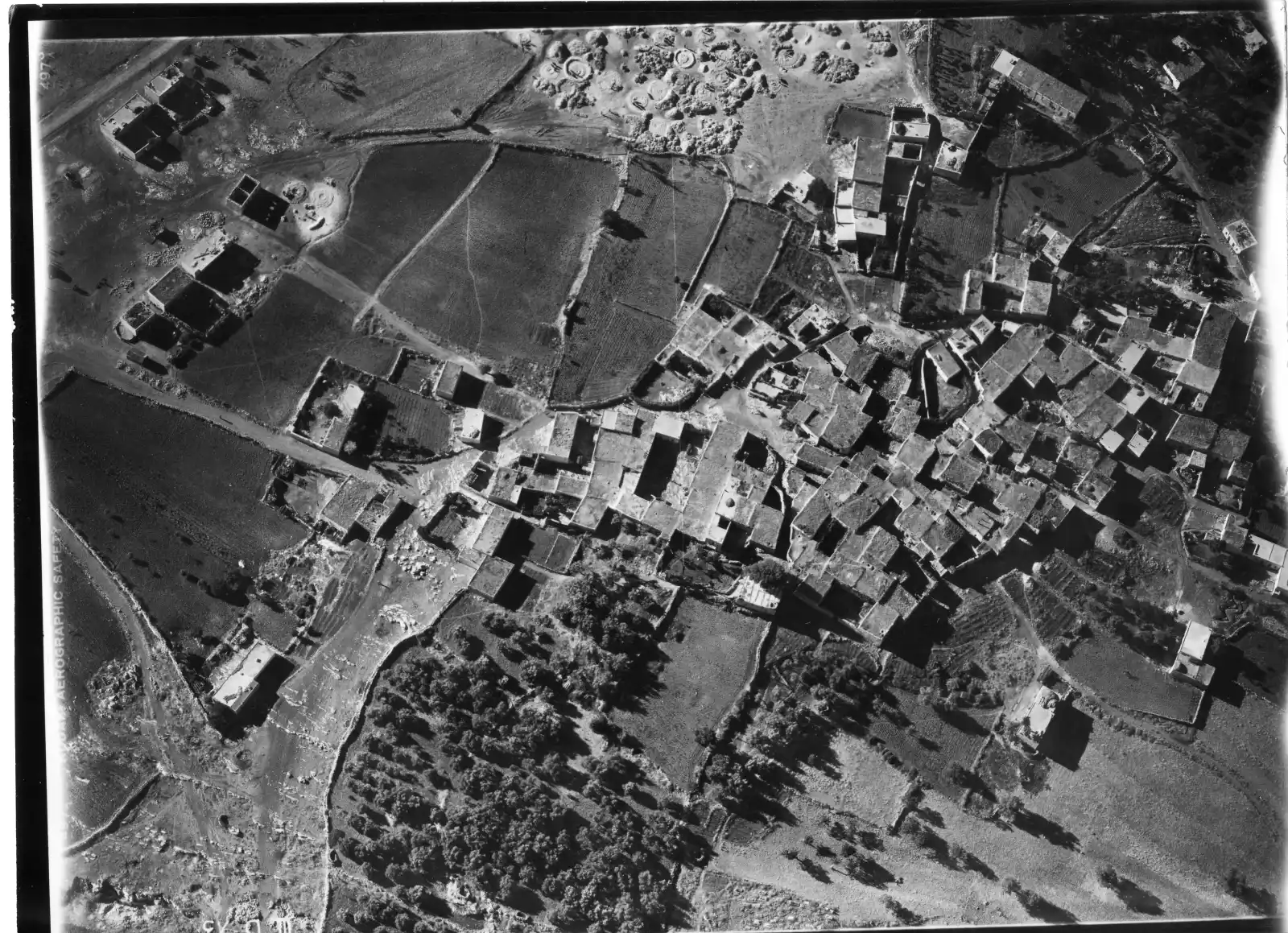
Aerial photographs assembled in the months leading up to the Nakba as part of what came to be known as the Village Files: dossiers compiled on Palestinian villages, often paired with later imagery and notes used in operational planning.
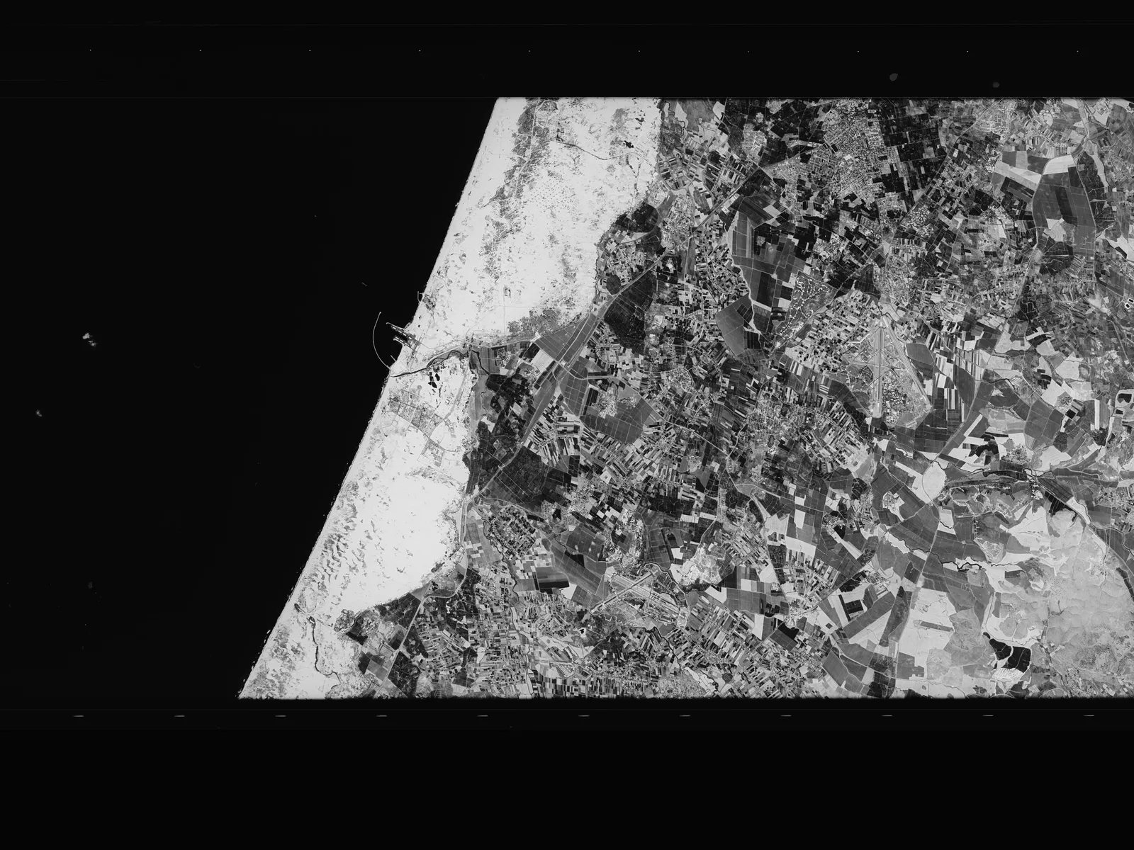
Declassified photographs from the American CORONA program — the first US reconnaissance satellites. Taken from orbit around 1970, each panoramic frame captures a vast strip of the country in a single sweep, carrying the archive's chronology more than two decades beyond the Nakba.
Four archives, spread across half a century — separate collections until you place them on the same ground. Watch them converge on a single town.
Loading story…
Every aerial photograph arrives as a single loose frame — a rectangle of film with no fixed place in the world. Pinned one by one to their true coordinates, the frames overlap and lock together into a seamless surface. Zoom in, and a whole town resolves from the mosaic; fade to today, and the same ground answers back across a century.
Every photograph, filterable by place, archive, and date — and editable, not just readable. Locate an unplaced frame, name what it shows, tag its place and set its date, right here. This is where an image stops being anonymous.
Pin that photograph back to the ground it shows. Drop control points between the aerial frame and today's map, warp it onto its true location, and save it for everyone. A loose image becomes located history.
Every georeferenced frame flows onto one map, organised by date. Scrub the timeline and watch a single place move decade by decade — 1918, 1944, the 1970s, today. This is where the stitching happens.
Georeference more than photographs — survey sheets, and Palestinian land and tax records. Lay a property map over the imagery and read ownership against the ground: names and boundaries the photographs alone can't show.
Draw the landscape straight off the imagery — buildings, roads, terraces, a property line — into named layers. Each tracing joins a shared dataset anyone with access can build on. The reading becomes a record.
A place, once traced, doesn’t stay a line on a map. A landmark gathers the ground photographs taken on that very spot — anchored point-for-point to the aerial frame, their camera views drawn back onto the map — and the testimonies that name it. Air, ground, and voice, meeting on one point of land.
Every archive here was made looking down — from a cockpit, a survey plane, a satellite — by the powers that mapped Palestine to control it. This turns the record over: testimonies of Nakba survivors, situated on the same ground. As someone names the village — the mosque, the spring, the road home — that moment is marked on the recording and pinned to a landmark traced from the very imagery those powers made. The aerial record, re-narrated by the people who lived it.
Lydda, 1948 — from the testimony of Abdulfaqir Mustafa Hamdi. Press play.
This is the shape of the whole platform — not abstract remembrance, but a workplan. Learning about Palestine, claiming its archive, situating testimony, marking property for restitution: each broken into concrete steps anyone can take and add to. A place isn't reclaimed by remembering it, but by the work of putting it back on the map — together.
Access is by invitation while we build — most of it already online, the rest on its way.